Indonesia is an earthquake-prone area because it is traversed by the meeting point of 3 tectonic plates, namely: the Indo-Australian Plate, the Eurasian Plate, and the Pacific Plate. Therefore, Indonesia is required to have microzonation maps that can function to facilitate mitigation as well as become the basis for the construction of earthquake-resistant buildings and infrastructure.
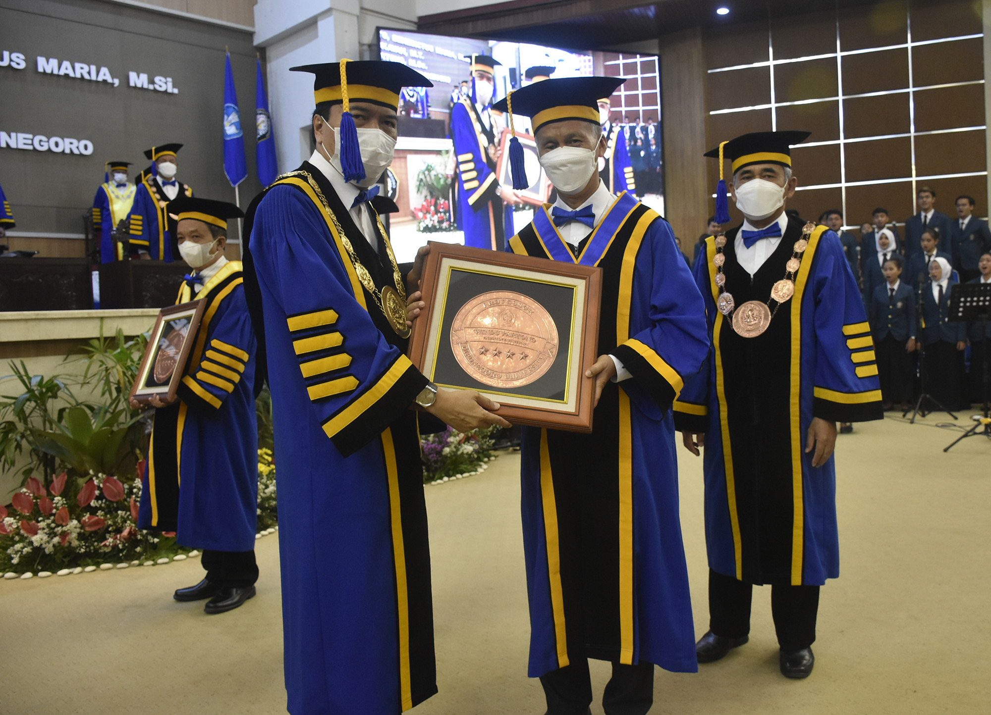
“Earthquake microzonation maps were developed by dividing an area into smaller zones so that the potential for ground shaking due to the nearest earthquake source can be identified and predicted more accurately.” said Prof. Dr. Ir. Windu Partono, M.Sc. when delivering a scientific speech at his inauguration as Professor of Civil Engineering, Faculty of Engineering, Diponegoro University (FT Undip), Thursday (29/09) at the Prof. Soedarto SH Building, Undip Tembalang campus.
Microzonation is a technique to divide a large zone into smaller zones with the criteria for each zone being different depending on the purpose of the zoning itself.
In his scientific speech entitled “Initial Mitigation of Earthquake Prone Areas Based on Earthquake Microzonation Maps”, Prof. Windu explained that the development of earthquake microzonation maps was very necessary because the ground vibration maps that had been developed by the Ministry of Public Works and Public Housing was made on a national scale so that it was not easy to observe with the naked eye the potential vulnerability of the area due to earthquake events.
“The purpose of developing earthquake microzonation maps is to identify potential earthquake hazards in an area due to earthquake scenarios.” explained Prof. Windu who is currently a member of the National Earthquake Study Center (PUSGEN) and a member of the Indonesian Soil Engineers Association (HATTI).
Previously, the development of the Semarang City’s earthquake microzonation maps had been carried out since 2009. The National Earthquake Study Center through a book entitled “Maps of Indonesia Earthquake Sources and Hazards in 2017”, has released 5 sources of active fault earthquakes located around Semarang City.
The five earthquake sources were the Weleri fault, the Semarang fault, the Demak fault, the Purwodadi fault and the Rawa Pening fault. “The existence of these 5 active fault lines needs to be followed up with research and making earthquake microzonation maps in Semarang City to see the level of vulnerability of the area to earthquake hazards.” concluded Prof. Windu.